Any Site, Any Scale, Mapped with Precision.
Elevate. Empower. Excel.
At 9 Line Aerial Media we push the boundaries of drone technology to deliver exceptional aerial solutions. Our capabilities have grown tenfold in the past several years and there is virtually nothing we can't achieve for our clients.
NDAA Compliant · FAA Part 107 · $5M Insured · Nationwide

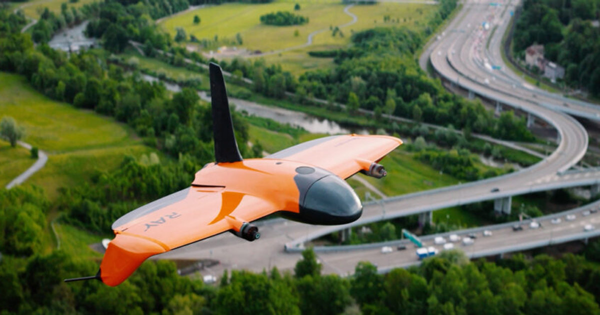
The Wingtra Ray is built for big sites.
Our flagship airframe is a vertical-takeoff fixed-wing platform that covers up to 1,360 acres in a single flight. That means entire construction corridors, subdivisions, and municipal sites can be captured in one mission - with survey-grade accuracy and no guesswork.
With a 61 MP full-frame sensor, RTK/PPK positioning, and a 59-minute endurance, the Ray turns large-area projects into compact, repeatable workflows. When the site is too big for a multirotor, we still have it mapped before lunch.
Explore the gearOur Services
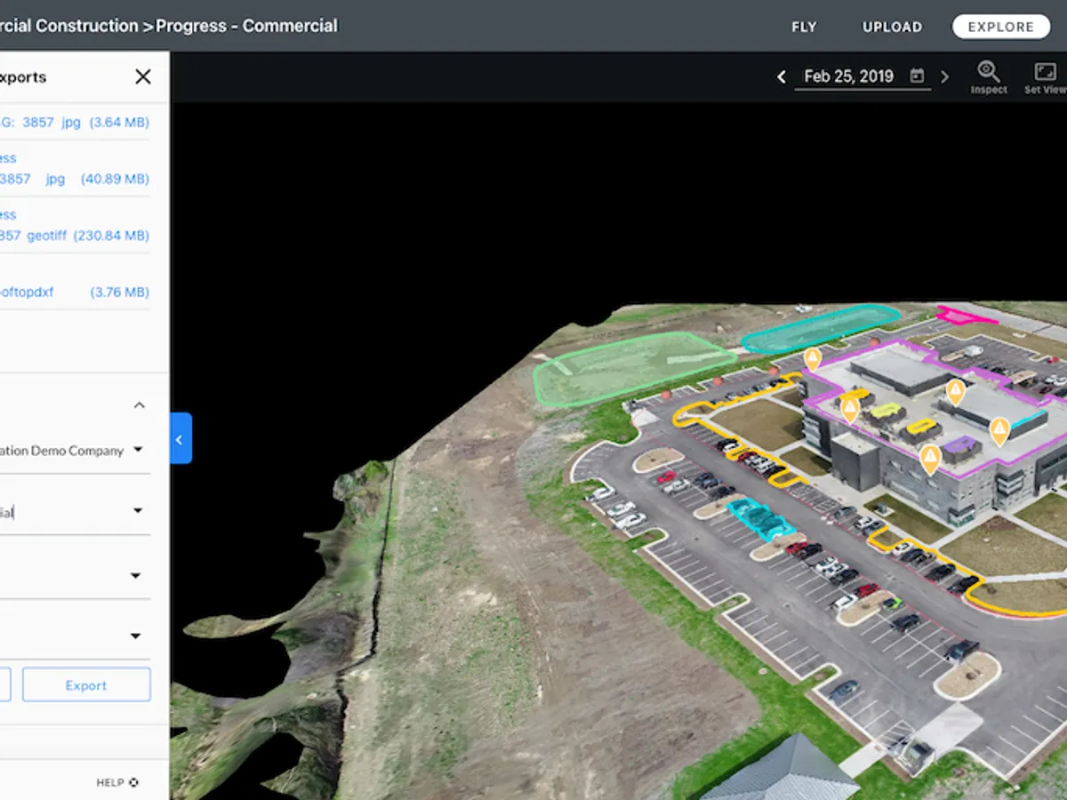
2D and 3D Mapping
Precise 2D and 3D mapping of neighborhoods, construction sites, and land masses - measure distances, volumes, and elevation change with ease.
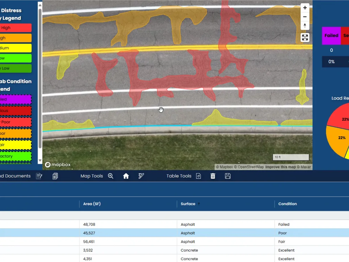
Pavement Condition Index
Advanced PCI scanning with detailed reports and a 5 to 20-year maintenance forecast for accurate municipal budgeting.
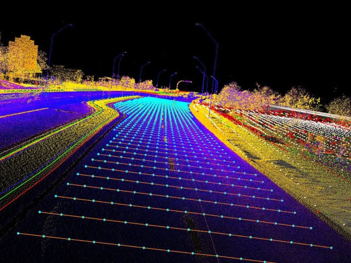
Feature Extraction
LiDAR-driven extraction of curbs, pavement edges, and paint lines delivered ready for Autodesk and AutoCAD.

Real Estate
Aerial photography, 3D models, and immersive virtual walkthroughs that make listings stand out and sell faster.
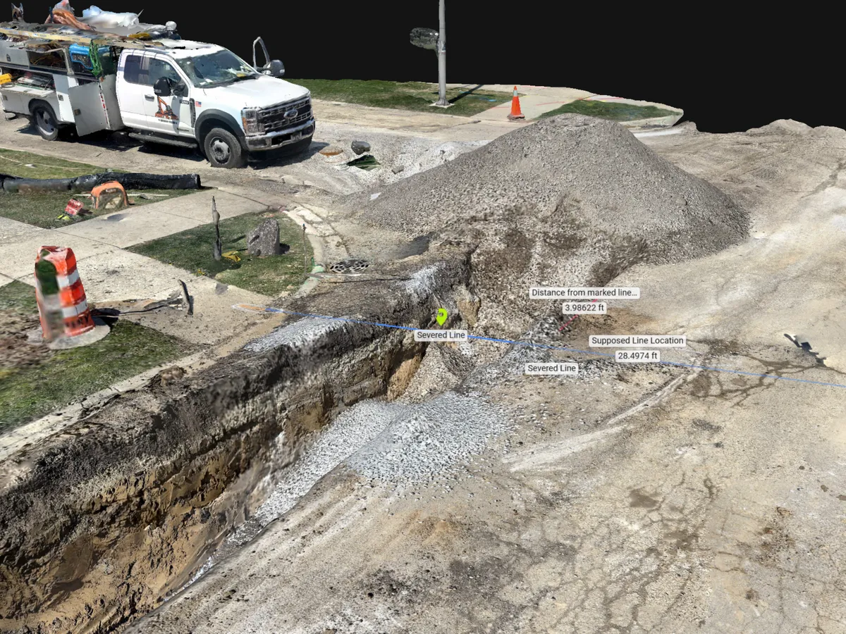
3D Work Areas
Centimeter-accurate ground scanning that builds detailed 3D environments of trenches, utilities, and confined work areas.
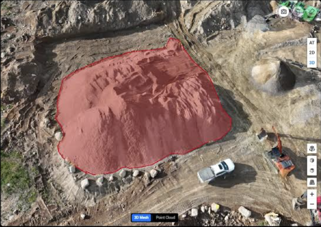
Volumetric Analysis
Precise cut/fill and stockpile volume calculations for construction, mining, and earthwork sites, delivered as accurate measurements for progress tracking and billing.
What lands on your desk
Explore the future of aerial media with us.
Tell us about the site, the acreage, and the deliverable you need. Flight operations responds same-day on most requests.
- Documents
- Capability statement →