top of page

LiDAR vs Photogrammetry: The Ultimate Guide for Infrastructure Projects in 2025
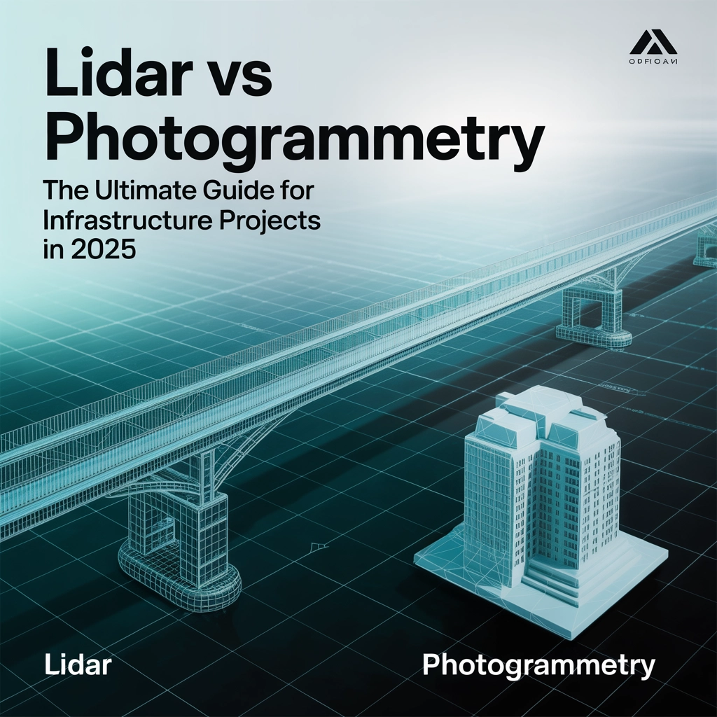
Picture this: you're a city engineer tasked with mapping 500 miles of aging infrastructure, or you're an A/E firm needing...

Brian Layhew
Sep 7, 20255 min read
logo.png)
bottom of page